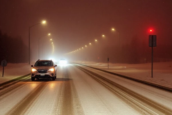
With the oncoming winter weather season now upon us the NOAA National Weather Service has nine winter weather forecast tools to understand future winter weather patterns, which includes rain, snow, sleet and hail.
- Weather.gov for all your forecast needs
Weather.gov is where entering a zip code users can get the custom forecast including watches or warnings in effect for specific locations from your local forecast office. - Day 4–7 Winter Weather Outlook
Day 4–7 Winter Weather Outlook tool looks for potential large-scale storm systems and future winter storm threats many days in advance. - Experimental Winter Storm Outlook (WSO)
Experimental Winter Storm Outlook (WSO) shows up to 4 days in advance the probability of significant snow or ice accumulation - Winter Storm Severity Index (WSSI)
Winter Storm Severity Index (WSSI) determines a storm’s expected severity effects and potential related impacts assisting local officials and the public. Parameters like snow amount, ice accumulation, and blowing snow can be varied to show potential weather impacts. WSSI is a valuable tool to use before assessing travel and outdoor activities, yet should not be used to replace any NWS Watch, Warning or Advisory, and should always be used in context with other NWS forecast and warning information. - Probabilistic Winter Storm Severity Index (WSSI-P)
Probabilistic Winter Storm Severity Index (WSSI-P) predicts possible winter weather outcomes. This entails the probability of experiencing various impacts from winter storms within the next 7 days. WSSI could be defined as the “most likely” weather scenario, and the probabilities of other impact scenarios will be shown in the WSSI-P. - Day 1–3 Snowfall Probability Forecasts
This weather tool provides a synopsis of the next few days weather forecast predicting the possible snow and ice accumulations across the U.S. - Snow Accumulation Potential
Available at seventy-seven local forecast offices this year, Snow Accumulation Potential gives detailed information regarding potential snowfall amounts from incoming winter storms. This tool not only finds expected, or most likely snowfall forecast, but also the potential high end and low end snowfall amounts. - Hourly Weather Graph
Hourly Weather Graph provides an hour-by-hour glimpse at the forecast. This tool determines more exact timing of precipitation occurrence. - Snow Coverage Maps and New Snowfall Maps
Originating out of a weather service office in Chanhassen, Minnesota, this tool is particularly useful for winter sports enthusiasts to determine total snow and ice cover in the U.S. and where to go for significant snow. Where new snow has accumulated can be determined by using the new National Snowfall Analysis.